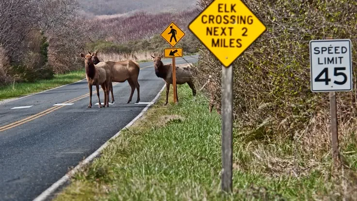
If you are looking for an official list of Norway’s worst wildlife collision hotspots on roads in 2026, there is a catch: Norway does not publish a simple national ranking of road sections from worst to best. The national data show where wildlife collisions happen, but the detailed road-section picture is often found in local road plans and Hjorteviltregisteret records.
Collision blackspots tend to appear where animal movement crosses busy roads, especially in areas used by moose, deer and roe deer. Recent Norwegian road documents identify several stretches with repeated incidents, including parts of E6, E16, Rv. 555 and Rv. 25.
Key Takeaways
- Norway has no single official 2026 ranking of the worst wildlife collision roads.
- Recent road documents identify repeated collision areas on parts of E6, E16, Rv. 555 and Rv. 25.
- Roe deer are the most numerous among the main deer species in the latest national figures.
- Moose collisions are especially important because of the potential consequences for people and vehicles.
- Hjorteviltregisteret and fallvilt records help reveal local patterns.
- An ettersøksekvipasje can search for injured wildlife after a collision.
- Prevention can involve fencing, crossings, vegetation work, better visibility and warning systems.
What do wildlife collision hotspots look like in 2026?
A wildlife collision hotspot is not simply a road where one animal was hit. It is an area where collisions happen repeatedly or where local knowledge and wildlife movement show a higher risk.
Animals may use the same valley, river edge, feeding area or seasonal route again and again. If a road cuts across that route, the same section can become a recurring problem.
In the 2025–2026 hunting year, 6,827 roe deer were recorded killed by motor vehicles and another 232 by trains. For moose, the figures were 997 by motor vehicles and 331 by trains. These figures come from Statistics Norway and cover registered deaths outside ordinary hunting.
Which road stretches show repeated collision problems?
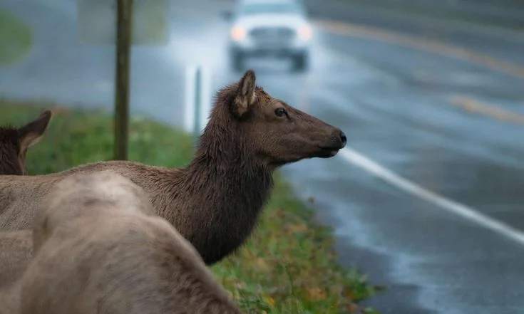
There is no current national ranking that can honestly label one road the worst. However, official planning documents provide useful examples of local collision blackspots.
E6 in Nordland
A detailed Statens vegvesen planning document for the E6 Hestbrinken–Borkamo section says most wildlife collisions in that project area happened between Storjord and Borkamo. About 14 moose collisions were registered there during the previous ten-year period.
Another E6 project identifies Gyltvik and Kvarv as areas with a high burden of wildlife collisions. Moose are involved most often there, with roe deer and deer also recorded.
E6 and railway corridors in Namsskogan
The E6 and railway through Namsskogan are another important example. Statens vegvesen says the area has significant wildlife collision problems involving moose and roe deer.
The planning document notes that collisions are spread along the route, with some locations standing out more than others. It also describes a seasonal movement pattern, with moose moving mainly north and south along the Namsen valley.
E16 in Valdres
A current E16 planning document covering the Einang–Ulnes area says wildlife collisions occur along the whole stretch. Moose and roe deer make up most of the incidents, with some deer also involved.
The document says most accidents happen in late autumn and winter.
E16 Slæn–Haugsvik
Another E16 planning document records several moose and deer collisions between 2014 and 2023 and says there are additional collision locations near the project area.
Local observations were also used alongside Hjorteviltregisteret data. One section between Hagatun Camping and Erolinasvingen was identified as having a lot of moose, and the document discusses warning signs and vegetation management as possible measures.
Rv. 555 around Sotra
A Statens vegvesen biodiversity report for the Rv. 555 area recorded 21 wildlife collisions in the project area over ten years. All recorded incidents involved deer.
Five happened north of Stekervika in Fjell municipality, near a recorded deer movement route. Another nine were recorded on Askøyveien north of Storavatnet in Bergen.
The report identified these locations as possible deer crossing areas and said collision records and deer movement information could help guide measures.
Rv. 25 in Innlandet
Statens vegvesen describes the Rv. 25 Løvbergsmoen–Flishøgda stretch as relatively accident-prone, with many incidents connected to junctions, access roads and wildlife collisions.
Wildlife risk does not exist separately from normal road safety. A section can have several risk factors at the same time.
Why do these roads become collision blackspots?
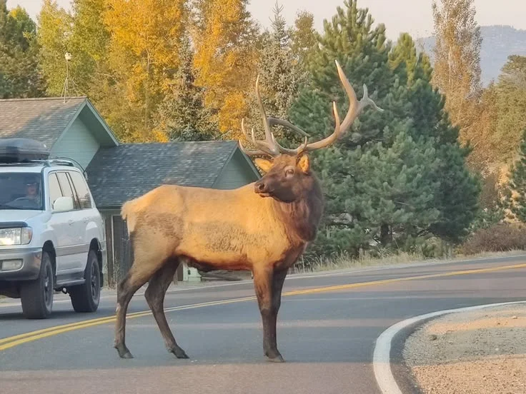
The simple answer is that roads often cut through places animals already want to use. Moose may move between feeding and resting areas. Deer can follow regular movement routes. Seasonal changes can also push animals toward different parts of the landscape.
Norway’s government links long-term collision increases to wildlife density, traffic volume, higher speeds and the expansion of road and railway networks.
Roadside vegetation can matter too. In one E16 assessment, local information suggested that willow growing beside the road attracted moose because it provided food. The project considered vegetation management as one possible way to reduce the problem.
What happens after a wildlife collision?
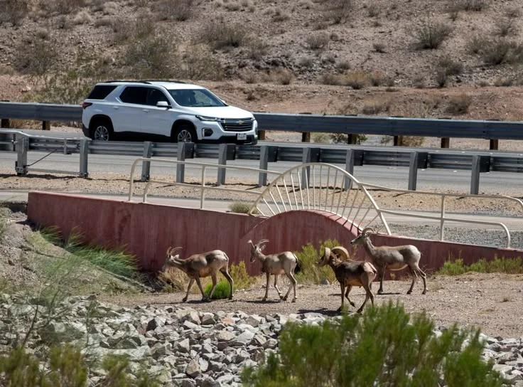
Reporting the collision is more than paperwork. It can help authorities understand where animals are being hit and where future prevention may be needed.
When a large animal leaves the road injured, an ettersøksekvipasje may be called. This is a trained tracking dog and handler team that searches for an injured animal.
The team follows scent and other signs left along the animal’s route. Finding an injured animal quickly can prevent unnecessary suffering.
For railway incidents, Bane NOR rules require drivers to notify the train controller after collisions with large wildlife or livestock and report where the animal disappeared or is lying.
How does the fallvilt register help?
The fallvilt register and related Hjorteviltregisteret data are important because they turn individual incidents into usable records.
These records help show patterns by species, location and time. Authorities can combine them with local knowledge and road planning information.
A 2025 government report said available statistics did not provide a national breakdown by individual road owner’s network. So a precise national “worst roads” table would be misleading.
What changes could reduce wildlife collisions?
Possible approaches include wildlife fencing, safe crossing structures, vegetation management, improved sightlines and targeted warning systems.
Bane NOR is also working on railway collision prevention. In 2025 it reported testing sounds from moving trains to see whether suitable sounds could encourage moose to move away from tracks.
Road projects can use collision records when deciding where crossings may help. A monitoring project for fauna crossings on Rv. 3/25 was among the wildlife measures supported through Norway’s environmental grant system.
Why do wildlife collision hotspots matter right now?
The issue is not only wildlife in Norway right now. Collisions can injure people, damage vehicles and trains, cause delays and create difficult situations for drivers, railway staff and local wildlife teams.
Government information says wildlife collisions can cause animal suffering and human injuries or deaths. The earlier national road safety plan reported that around 90 percent of human injuries from animal collisions were linked to moose.
For Viltnemnda readers, the useful lesson is simple: a wildlife collision hotspot is best understood as a local pattern, not just a national number.
What should drivers know near a hotspot?
Slow down when signs warn about wildlife, when animals are more active. Keep your attention on the roadside as well as the lane ahead.
If a collision happens, follow local reporting procedures. An animal that runs away may still be injured and can travel some distance before lying down.
Wildlife collision reporting also helps create the records used by municipalities, road authorities and wildlife teams. Good reporting can support animal welfare work and longer-term prevention.
Sources Note
This article uses current information from Statistics Norway, the Norwegian government, Statens vegvesen and Bane NOR. Road examples come from published planning documents rather than a national ranking.
FAQs
What is a wildlife collision hotspot?
It is a road section or nearby area where wildlife collisions happen repeatedly or where animal movement creates a clearly identified collision risk.
Which Norwegian road has the most wildlife collisions?
There is no reliable current national road-by-road ranking that supports naming one road as the worst. National statistics are available, while detailed road-section information is often found in local planning documents.
What animals are most often hit?
Roe deer are the most numerous among the main deer species in the latest national traffic figures. Moose and deer also account for substantial numbers.
What is an ettersøksekvipasje?
It is a trained dog and handler team that searches for injured wildlife, including animals that have moved away from a collision site.
Why are autumn and winter important?
Animal movement, food availability, weather and seasonal behavior can change where wildlife crosses roads. Some road assessments in Norway report more collisions during late autumn and winter.
Where can wildlife collision data be found?
Hjorteviltregisteret and Statistics Norway provide important national and local data. Road planning documents from Statens vegvesen can also contain detailed collision information for specific projects.
Disclaimer
This article is for general educational and informational purposes. Wildlife collision records, road conditions and local risk levels can change as new incidents are registered and new research becomes available. Always check current information from recognized Norwegian wildlife and road authorities before making travel or wildlife management decisions.
